


The roads they never built across the North Fork

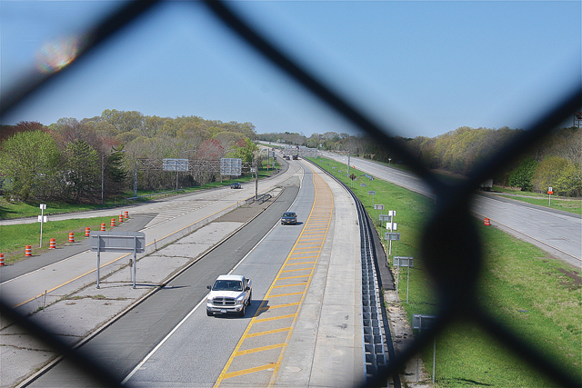
![[Click to enlarge] This document, titled 'Expressway Plan 1959 County Planning Board,' can be found on Southold Town's website. It shows the LIE running just south of Goldsmith Inlet. (Credit: Southold Town)](https://suffolktimes.timesreview.com/wp-content/blogs.dir/4/files/TR0514_Roads5_C.jpg)
Even as hope dimmed later that decade, officials in Riverhead and Southold were still calling for an expansion of the LIE to County Route 105, where it could link up to Sound Avenue and North Road.
Riverhead Town Supervisor Robert Vojvoda said in 1966 that the expansion would offer commuters a bypass to avoid the Riverhead traffic circle and prevent “the dumping of expressway traffic onto the already congested east-west Route 58.”
To put this all into perspective now, one has to consider that a half-century ago, Suffolk County was the fastest-growing county in the state, and possibly the nation, and planners thought that more (and wider) roads made sense.
For instance, in 1967, five years before the LIE was extended to its current endpoint at exit 73 in Riverhead, The New York Times said “this agricultural market town, after it is linked with the expressway, may be transformed into the industrial hub of a new Northeast coastal network of air, high-speed rail and highway transportation.”
The same article mentioned a proposal for a cross-Sound bridge between the Riverhead area and Connecticut. On the Long Island side, motorists would have reached the bridge via a short northbound extension of the LIE. The Connecticut terminus of the 19.2-mile bridge would have been Guilford, where they could pick up I-95.
Suffolk County planners and business leaders of that era were eager to establish a direct highway link between eastern Long Island and New England so as to spur development in their then still largely agricultural area. Development pressure in Calverton, where Grumman was operating and a jetport was proposed in the mid-1960s, was also a major factor.
“They argue that [a bridge] would benefit Long Island by opening all of eastern Long Island to industry by connecting two major military electronics production centers [Long Island and the Boston area],” reads a 1964 release from the Regional Plan Association.
Easily the most ambitious plan involved a 25-mile-long chain of bridges from Orient Point linking Plum, Gull and Fishers islands to Watch Hill, R.I.
So breathtaking was the price tag of this island-hopping behemoth (reportedly $635 million in 1971) that even Robert Moses, who seldom saw a highway or bridge proposal he didn’t like, reportedly characterized this one as “impractical.”
Another, more modest bridge plan from the same period, which also bit the dust, was a 9.8-mile $206 million bridge, also served by an LIE extension, that would have connected East Marion with Old Saybrook, Conn. Bridges from Oyster Bay, Riverhead and Brookhaven towns were also proposed but never realized.
Both the proposed Orient Point and East Marion bridges were predicated on the construction of a 13-mile extension of the LIE from Riverhead that would have connected with the North Road (County Route 48) a little west of where its four-lane portion ends at Cox Neck Road in Mattituck.
The state Legislature approved the extension in 1969 but the concept proved unpopular and was deleted from state plans.
If the project had proceeded, “a large number of farms would have been split in half,” recalled Richard Wines, chairman of Riverhead Town’s Landmarks Preservation Commission, “leaving no way to get from one part to the other.”


