


NWS: Blizzard watch in effect, storm could drop 8-12 inches

The nor’easter bearing down on Long Island this weekend has been upgraded to a potential blizzard, the National Weather Service announced Thursday morning.
Originally expected to drop at least six inches of snow, the NWS is now saying as much as eight to 12 inches could fall. A blizzard watch is in effect from Saturday morning through Sunday afternoon, the NWS said. The heaviest snow is expected to fall in the south in areas like Baltimore and Washington D.C., which could expect as much as two feet.
Heavy winds are expected to accompany the storm on the East End. The NWS said to expect northeast winds at 25 to 35 mph with gusts up to 50 mph. Temperatures are expected to be in the lower 30s and visibility will be a quarter-mile or less at times.
“Extremely dangerous travel due to heavy snowfall and strong winds with whiteout conditions likely,” a statement from the NWS says. “Strong winds may down power lines and tree limbs.”
This is the first significant snowfall of the season; the area had light snow Sunday.
Winter preparedness tips can be found on the NWS website.
A blizzard warning, an upgrade from a watch, would be issued 12-18 hours before a storm, as defined by the NWS.
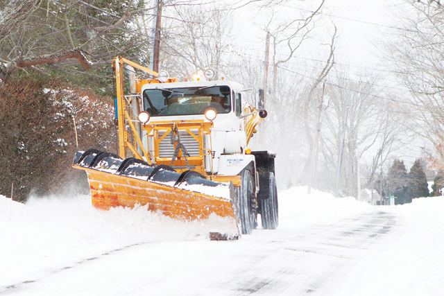
Photo Caption: A snowplow in Cutchogue last year. (Credit: Katharine Schroeder, file)


