


Snow begins to fall, three inches expected for North Fork
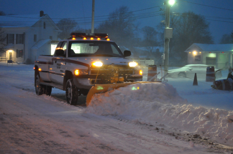
The North Fork is expected to see up to three inches of snow — the most expected on Long Island — when a snowstorm passes through the area Monday night, according to the National Weather Service.
Snow showers are expected to begin about 8 p.m. and last until around 1 a.m., said David Stark, a meteorologist at the National Weather Service’s station in Upton.
Though western Riverhead is expected to see between one and a half to two inches of snow, residents farther east may get up to three inches from the storm, Mr. Stark said.
The band of snow is the leading edge of a cold air mass that will bring freezing temperatures to the North Fork for most of the week, he said.
“It’ll definitely get windier,” Mr. Stark added. “Temperatures [Tuesday] are going to struggle to get out of the 20s.”
As the week progresses, and taking wind chill into account, it could feel as cold as the low teens or even single digit temperatures later this week, he said.
No advisories have been issued for Monday night’s snowstorm, though meteorologists will be updating the storm’s track throughout the day, Mr. Stark said.


