


Snowfall expected Thursday
Locals could be heading back to work in 2014 with some snow, as the National Weather Service has forecasted a chance of snow starting mid-day Thursday, as well as a brief flurry to ring in the new year tonight.
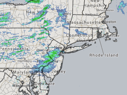
Areas of low pressure moving in increase the chance of snowfall on Thursday, with moderate accumulations expected between five and eight inches, said Joey Picca of the NWS. While heavier snow is expected later this week, snow flurries are expected tonight starting about 5 p.m., Mr. Picca said, clearing up just in time for a sunny but cool New Year’s Day.
Eastern Long Island residents could see wind gusts upwards of 30 to 35 mph, with snowfall ending mid-day Friday, he said, adding that these predictions were still preliminary.
In the meantime, the NWS has issued a hazardous weather outlook throughout Long Island, New Jersey, and southern Connecticut, noting that “a prolonged period of snow is expected late Wednesday night into Friday morning. At least six inches of snow is possible … with blowing and drifting of snow due to strong winds.”
Check back with the Suffolk Times as more information becomes available.

