Flood, fire safety concerns stall Tuthill conservation subdivision
A decade-old conservation subdivision proposal for 112 acres of Tuthill family land in Orient into 17 residential lots hit new speed bumps as updated federal flood projections and fire safety requirements complicate the planned development.
New FEMA flood zone projections for 2070 anticipate sea level rise of roughly two and a half feet in the area. They’re forcing the Southold Planning Board to reconsider the conservation subdivision that would preserve 94 acres while creating 17 residential lots from four parcels owned by the Tuthill Oysterponds Holding Company.
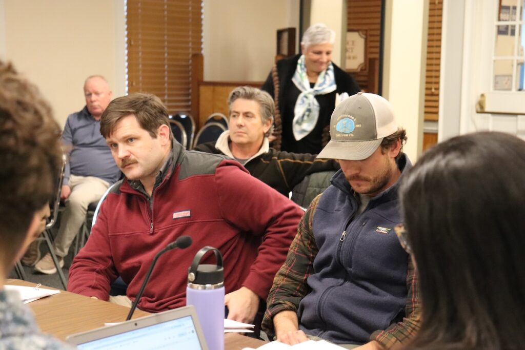
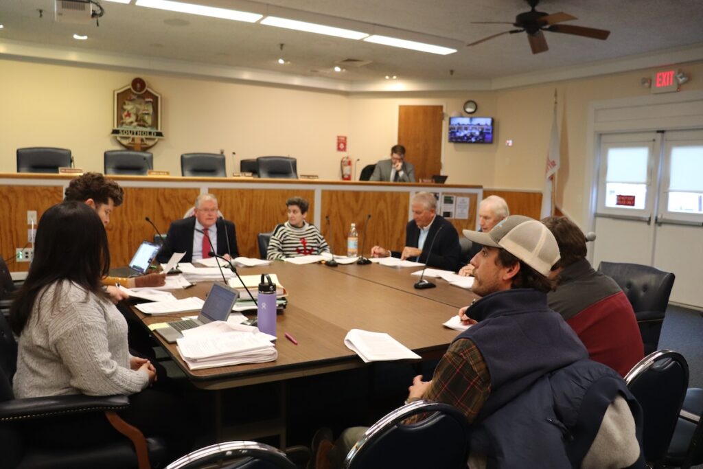
Planning Board officials raised the concerns at a Jan. 12 work session, along with fire safety issues that would require a variance to approve a 25-foot road instead of a 30-foot road for a North Brown parcel right of way to accommodate firetrucks. The application also faces recommended front-yard setback changes.
“We understand the flood zone — the data is the data and we’re not challenging that,” Jason Tuthill, son of Lyle Tuthill, told the Planning Board at Southold Town Hall. “We’re simply stating that we went through several iterations in the planning phase. We submitted a plan that was approved — there was no flood zone concern at that time. We went through all that, and I think this is coming in at the final stage of this.”
Planning Department director Heather Lanza noted the town’s comprehensive plan was adopted and coastal resilience became a priority after the application was first filed in 2011.
The Land Preservation Committee recommended that a half-acre lot designated for farm development in the North Brown parcel be increased to 80,000 square feet and moved closer to Route 25.
“It’s been their practice for many years now to do that, and they think a half acre is too small to support a farmhouse and farm operations,” Ms. Lanza said of the committee’s recommendations.
In the South Brown parcel, the size and location of agricultural land were also considered impractical for future commercial agricultural production by the Land Preservation Committee. Projected flood zones and sea level rise in the area were listed as causes for concern with saltwater intrusion. The committee recommended that lot area to also be increased to 80,000 square feet from the currently proposed 40,000-square-foot lot, Ms. Lanza said.
The Land Preservation Committee serves as an advisory group to the Town Board, which will make the ultimate decision to approve the recommendations.
“Making it bigger is really a Town Board issue, but the moving, I think there’s a lot of good planning reasons to consider moving the lot,” Ms. Lanza said of the South Brown agricultural lot.
She added that the Planning Board would wait for Town Board comment on the size change, as the Planning Board “didn’t have an issue” with the size of the development area.
Jason Tuthill told the Planning Board that the family had “done a lot of review on the location.”
“I think in general we are pursuing conservation because of farming, so we have a fenced-in area on the north section of South Brown, that parcel,” he said. “And any house lot moved to the north would certainly impact a farming footprint that exists today.”
He said there was no option to move that agricultural lot off of that parcel, as the application requires the applicant have a lot on each parcel.
“This is just where the family wants it, and we feel that it preserves the farmable land the best that it possibly can on South Brown,” Jason Tuthill said.
Other possible changes include widening driveways along North Dyer to 25 feet from their proposed 20-foot width to comply with town regulations.
The proposed Tuthill plans
The acreage encompasses four plots of land in Orient: the North Dyer parcel at 21505 Main Road, the South Dyer parcel on Rackett’s Court, the North Brown parcel on Main Road near Narrow River Road and the South Brown parcel on Narrow River Road.
Of those parcels, North Dyer is the only one that is not currently farmed. The holding company’s December 2024 overview document stated that North Dyer could be farmed in the future if a viable project is defined that meets all requirements.
Development at the South Dyer parcel will prohibit public access to the creek but will allow new construction for agriculture or aquaculture businesses and the ability to improve the land to meet state and federal requirements for such businesses. The current business on the parcel, Latham Farm Stand, will be maintained in working condition.
At the Jan. 12 Planning Board work session, there were “no major design changes needed” for the South Dyer parcel, Ms. Lanza said.
On the North Brown parcel, the company would be able to construct and maintain structures that allow for beach access to Long Island Sound. However, public access to those buildings would be prohibited.
All parcels would allow family recreation such as weddings, town fundraisers, charitable events and reunions, as well as family nonprofit and for-profit business operations. They would also allow for storage of large items such as boats, classic cars, RVs storage and farm equipment.
In addition, South Dyer, North Brown and South Brown would allow access for hunting in compliance with Southold Town regulations on the properties.
In a Feb. 25, 2025, planning department staff report, the applicant proposed a Homeowners Association for the residential developments. All 10 members of the company would become members of the HOA and owners of the lots established in the subdivision.
The company was established in December 2006 to consolidate management and control of certain properties owned by the Tuthill family, whose roots in the area date back to the 1600s. The company consists of 10 family members. Four are managing members and six are limited members, according to a December 2024 overview of the proposed conservation subdivision.
Management of the HOA “will be a natural extension to the work the company has done since 2006 to preserve and maintain the four parcels,” the December 2024 overview stated.
None of the residential lots would be designated for affordable housing.
Planning Board chairman James Rich III said the subdivision has been through a “detailed review since 2014” that included many studies, such as cultural resource field studies and watershed impact studies at an April 2025 public hearing for the plans.
“As a result of the review of the watershed, the lots have been located to best preserve viewsheds from and for the public viewpoints,” he noted at the time.
The Planning Board will convene again for another work session Monday, Jan. 26, at 4 p.m. at Southold Town Hall. There, the conservation subdivision recommendations could be further discussed and ironed out. The agenda for the meeting has yet to be posted.