


Moderate flooding reported across the North Fork as high tide passes

Update: Rain began to push out of the area by mid-morning Monday as a storm that brought moderate flooding to the area moved north.
A coastal flood warning remains in effect until 2 p.m.
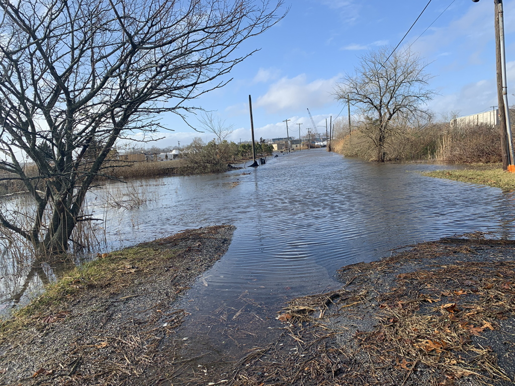
The downtown Riverhead parking lot experienced moderate flooding and was blocked to traffic as high tide approached around 10 a.m.
Some moderate flooding was also seen along the shores and on some roadways like Peconic Bay Boulevard in Aquebogue.
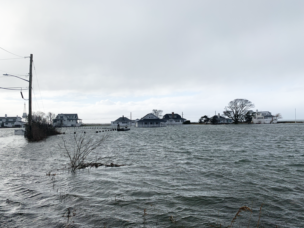
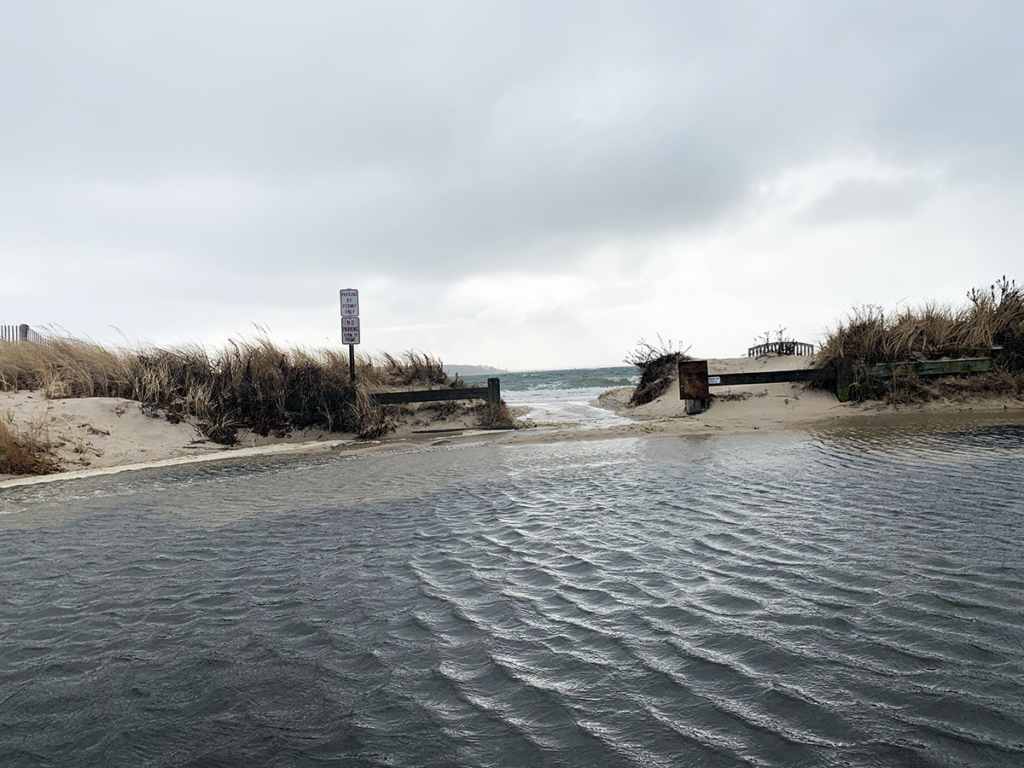
In Southold Town, Kimogener Point in New Suffolk was flooded though the main roadway was passable. Old Main Road in Southold was not passable, cutting off access to the DEC property. Bay beaches were inundated though parking lots and nearby roadways experienced only minor flooding.
The National Weather Service reported a wind gust of 43 mph in Baiting Hollow early Monday. Higher gusts were recorded farther east, up to 69 mph in Orient. No power outages were reported by PSEG Long Island as of 10:30 a.m.
Wind of 20-22 mph is expected to remain for the rest of the day. The NWS is expecting sunny skies for Tuesday with a high of 32.
ORIGINAL STORY
A coastal flood warning is in effect until 2 p.m. today as high tide is expected to bring with it moderate to major flooding along the Peconic bays and river, the National Weather Service warned.
The heaviest flooding is expected to occur along the Peconic River in Riverhead, where 7 to 7 1/2 foot tides have been forecast, about four feet higher than the norm, according to the NWS. To the east, Orient Harbor should see tides as high as 6 to 7 feet, causing moderate flooding.
The most serious flooding anywhere on Long Island with Monday’s high tide is along the south shore of the North Fork. Historically, the heavily trafficked downtowns of Riverhead and Greenport have been among the most flood prone areas.
“The potential for localized major coastal flooding is mainly along Peconic Bay and the Peconic Riverfront,” the NWS wrote in its warning, saying the tides could rise to as high as three feet above ground in some areas. “The potential and exact threat areas for localized major coastal flooding will depend on how much before high tide the easterly storm force winds subside and if southerly gale force winds develop by the time of high tide.”
High tide will take place between 8 a.m in Orient and 10 a.m. in Riverhead, according to the NWS.
The Town of Riverhead has urged motorists to move all vehicles out of the riverfront parking area and for residents of flood-prone areas to take caution around high tide.
Following heavy rain overnight, the potential for more rain exists through mid-morning across the North Fork. Winds over 20 mph are in the forecast through mid-afternoon. Gusts could be as high as 40 mph, the NWS warned.
While the temperature is expected to reach as high as 48 degrees Monday, it should dip back to freezing by Tuesday.


